Project Detail
01. National Surveys for Infrastructure Resilience Geospatial Databases to Support Exposure and Hazard Modelling in Vanuatu, Kiribati and Tonga
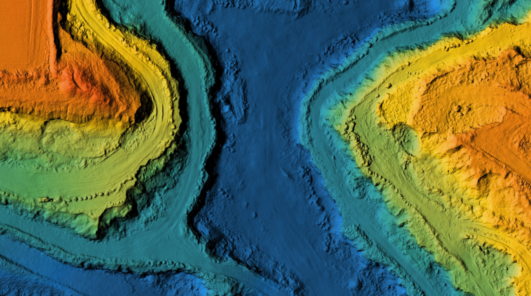
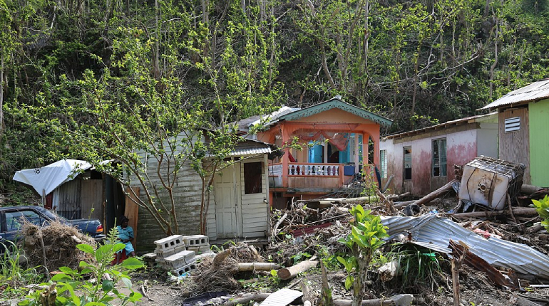
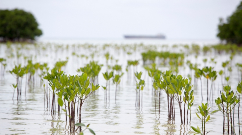
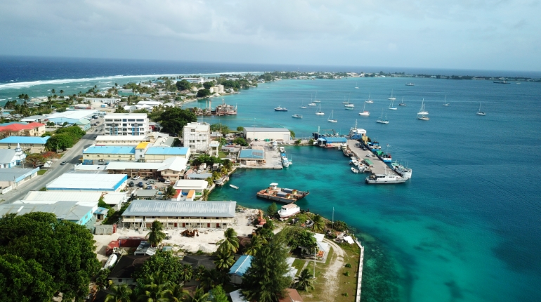
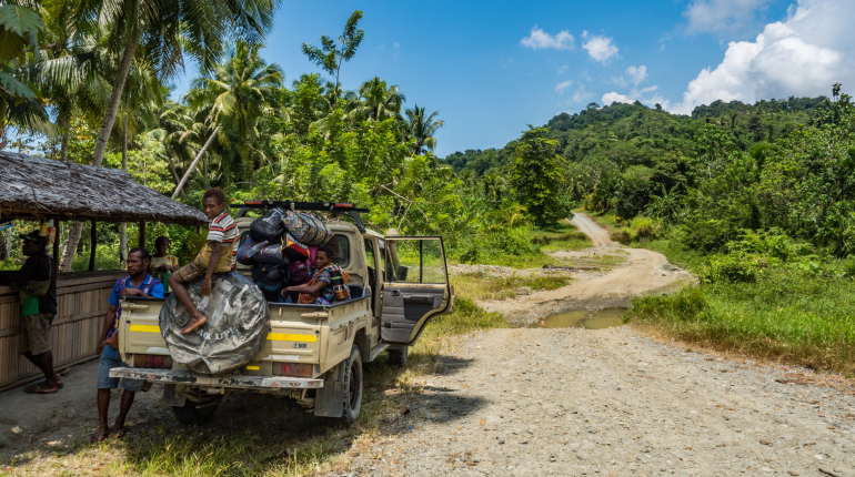
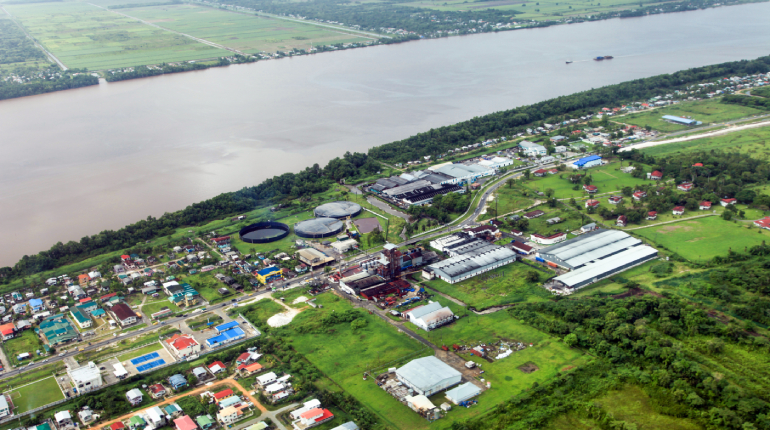
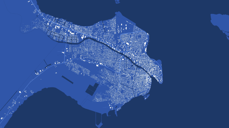
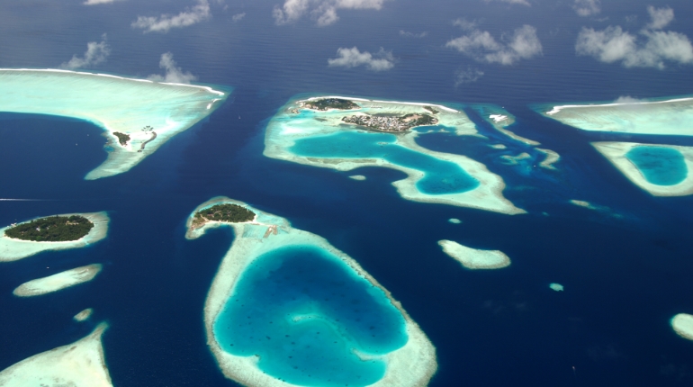
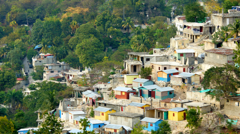
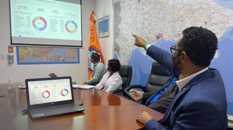
This multi-country project will support Vanuatu, Kiribati and Tonga with collecting and managing databases of hazards and infrastructure assets, ensuring that information is up-to-date, centralized and accessible so it can allow efficient early warning systems, protecting lives and investments in case of emergency. Professionals from the three island countries will also practice risk modelling from these data sets so they can design future infrastructure projects to face multiple climate threats. This project will also foster networks of geo-spatial professionals across the Pacific, including among women and indigenous Pacific islanders. The project is endorsed by the Department of Urban Affairs of Vanuatu, the National Emergency Management Office of Tonga and the Office of the President of Kiribati. It will be implemented through the Pacific Community, a multilateral organization of 27 countries and territories. The Secretariat of the Pacific Community is the main science and technical advisory body in the Pacific region, with significant experience in data management and resilience building projects.

Nodal Government Agency
Department of Urban Affairs and Planning - Vanuatu
National Emergency Management Office - Tonga
Office of the President - Kiribati