Project Detail
08. Strengthening Data Management Foundation for Disaster Risk Preparedness in Belize
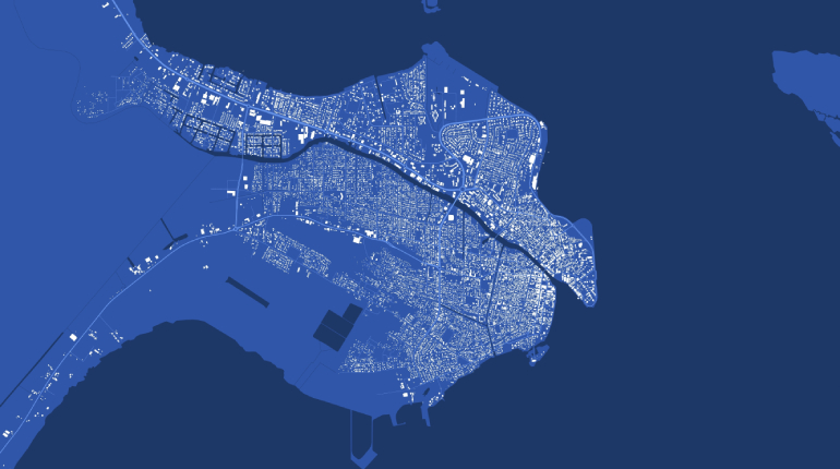
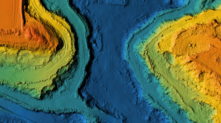
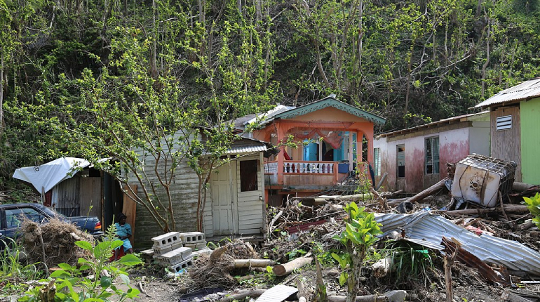
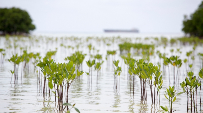
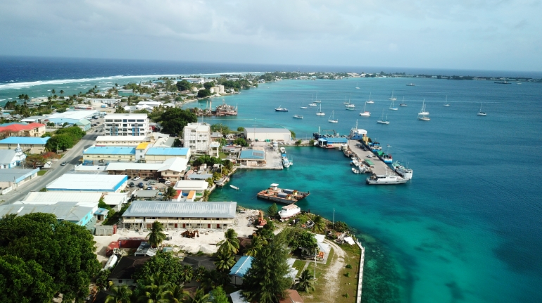
The project will mobilize data to inform urban planning decisions, particularly in coastal areas of Belize. Thanks to the acquisition and interpretation of satellite imagery, accurate and up-to-date building footprint information will supplement existing hazard data to constitute a database for risk-sensitive land use planning. The project will train the Lands and Survey Department staff in data collection and maintenance to ensure full ownership of the datasets and tools created. A significant component of the project focuses on the use of the data created, including storm surge modelling for coastal areas and risks-sensitive urban planning, with specific attention to gender equality and social inclusion mainstreaming in planning practices. This approach will help prevent urban development in vulnerable areas and identify vulnerable coastal communities in need of resilience building interventions. The project is endorsed by the Ministry of Sustainable Development, Climate Change and Disaster Risk Management of Belize. It will be implemented by the Caribbean Community Climate Change Centre, the institution mandated by CARICOM to address the effects of climate change in the region.


Nodal Government Agency
Ministry of Sustainable Development, Climate Change and Disaster Risk Management